
A sample of recent work across the residential, commercial, industrial, institutional, civic infrastructure, and military sectors we serve. Photography for these projects is being compiled — imagery from secure facilities is subject to client approval.
Altadena & Pacific Palisades · 2025–present. Survey and civil engineering for dozens of families and architects rebuilding after the fires — boundary re-establishment, topographic base maps, grading and drainage plans, and plan-check support.
Los Angeles County · 2026–present. Feasibility and entitlement engineering for a large hillside parcel — subdivision layout, sewer and water capacity analysis, fire-flow and will-serve coordination, supporting a senior-living and single-family program.
Southern California · ongoing. Interior laser scanning and as-built floor plans for owners, brokers, and property managers — rentable-area verification, unit-by-unit lease exhibits, and base plans for tenant improvements.
City of Adelanto · 2024–present. Master-plan surveying and geomatics for 450-acre and 150-acre industrial parks — aerial and topographic mapping with multi-scale geospatial data integration.
Hawthorne / Long Beach · 2024–present. Recurring high-accuracy topographic and facility-improvement surveys across the rocket factory campus, from the 1 Rocket Rd headquarters to surrounding facilities.
Pasadena · 2026. Serving as both surveyor and civil engineer of record on a facility site restoration — topographic and underground utility survey, then grading and site design through the 90% review.
Huntington Park & Huntington Beach · 2026. Survey support to the prime engineering firms on municipal streetscape work — construction staking for the Randolph Street corridor (City CIP 2022-11) from Alameda Street to Santa Fe Avenue, and a street beautification program on the Orange County coast.
Montebello & Culver City · 2025–present. High-definition surveys for citywide ADA reconstruction programs — Montebello’s FY-2024/25 curb ramp program (Via Campo Phase I) and accessibility compliance work in Culver City, verifying built conditions against accessibility slope standards.
Ventura County & San Diego · 2024–present. High-security topographic and facility surveys on two naval bases, including bridge foundation staking, supporting base infrastructure improvements.
A closer look at how each project actually ran — the constraint we were handed, the method we used, and what the client got. Filter by sector to see work like yours.
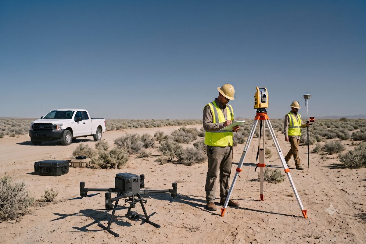
Two parcels of flat high-desert land — 15 acres and 27 acres, half a mile apart — had to be mapped and every recorded easement confirmed before the developer could commit to a layout. Between them the sites carried eight recorded easements: power, telegraph, gas, sewer, oil and mineral rights. At 211 lots an easement found late means redesigning streets, lots and the phasing plan.
We flew both parcels with high-resolution drone imagery, set geodetic control tied to the California Coordinate System (CCS83 Zone 5), and picked up ground features with robotic total stations — roughly half a day of field time per tract. Office production merged the aerial and ground data into topographic base maps with every recorded easement plotted onto them.
Maps were delivered within two weeks of each survey, and the developer laid out all 211 lots against confirmed topography and easements rather than assumptions. We then prepared both final tract maps — Tract 20504 and Tract 20507 — and carried them through City Engineer and City Surveyor review to recordation.
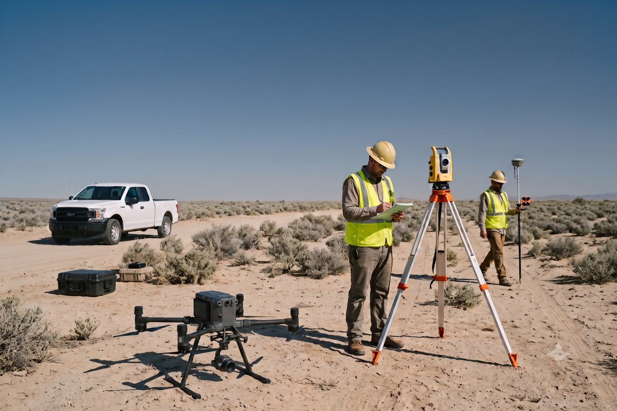
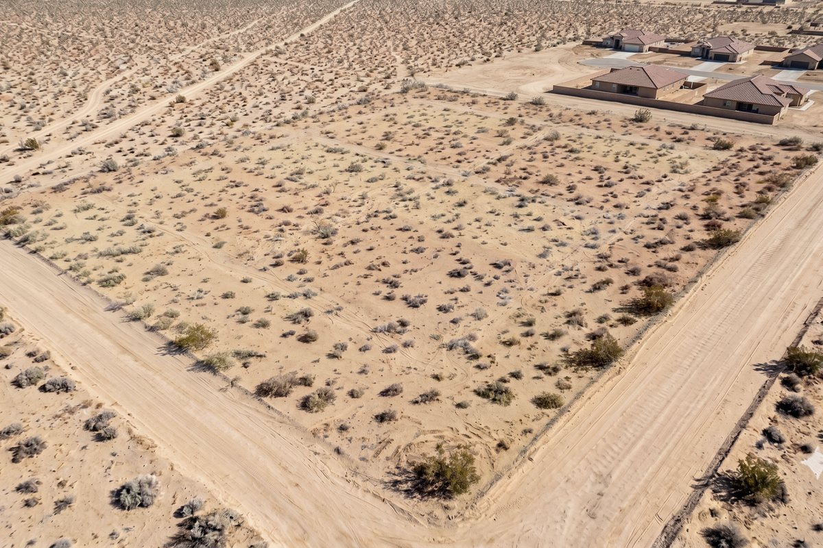
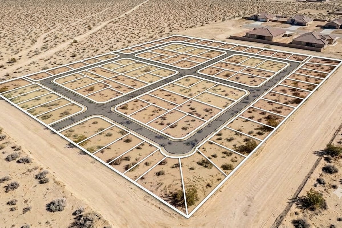
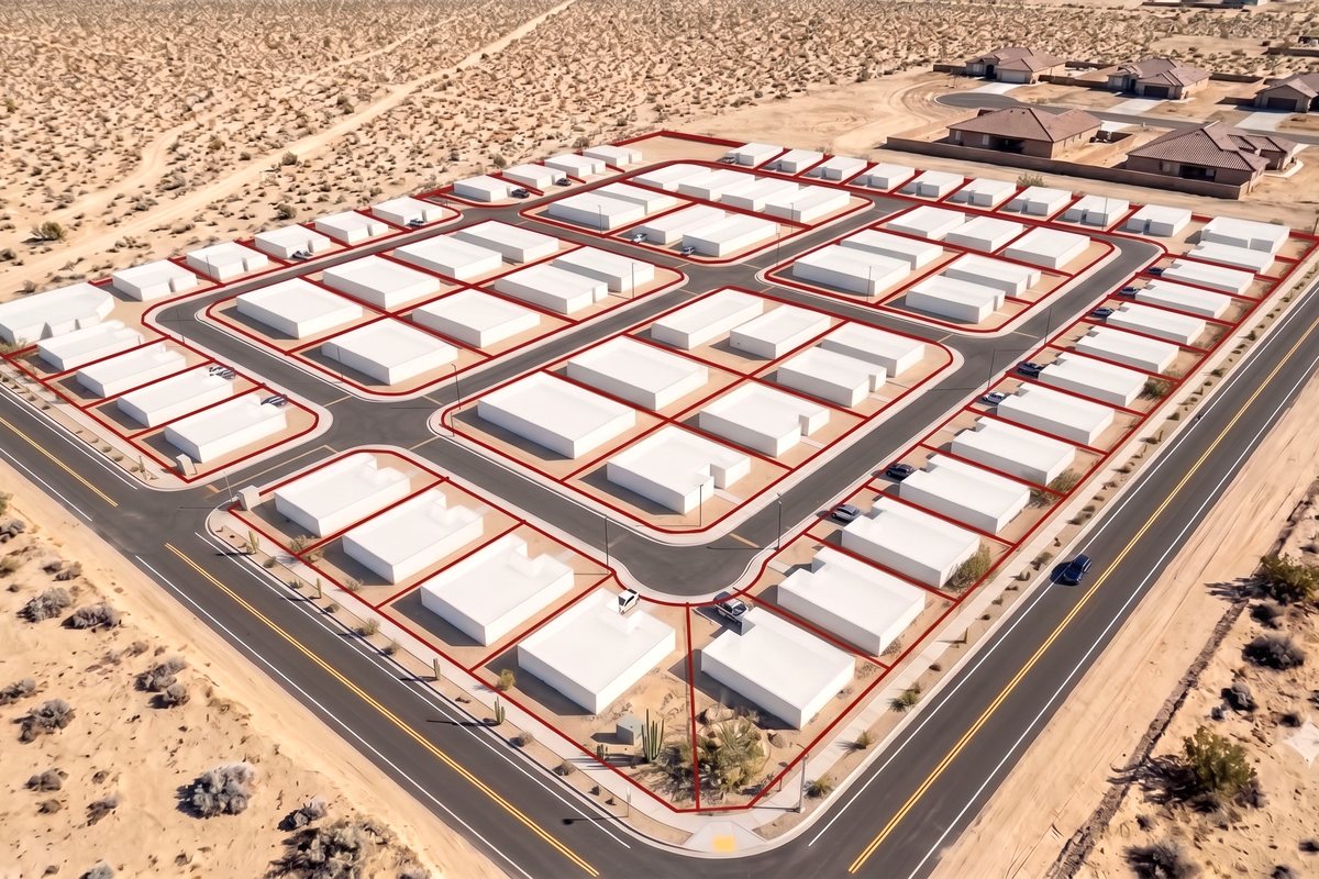
Representative images — steps 2–4 show the same parcel from a single viewpoint.
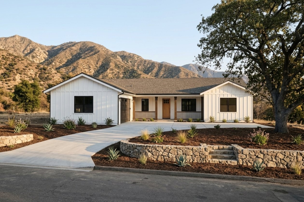
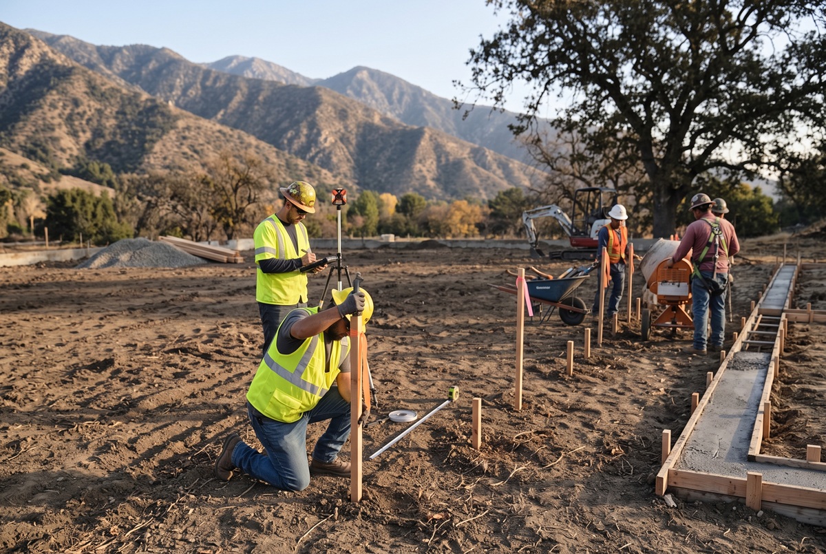
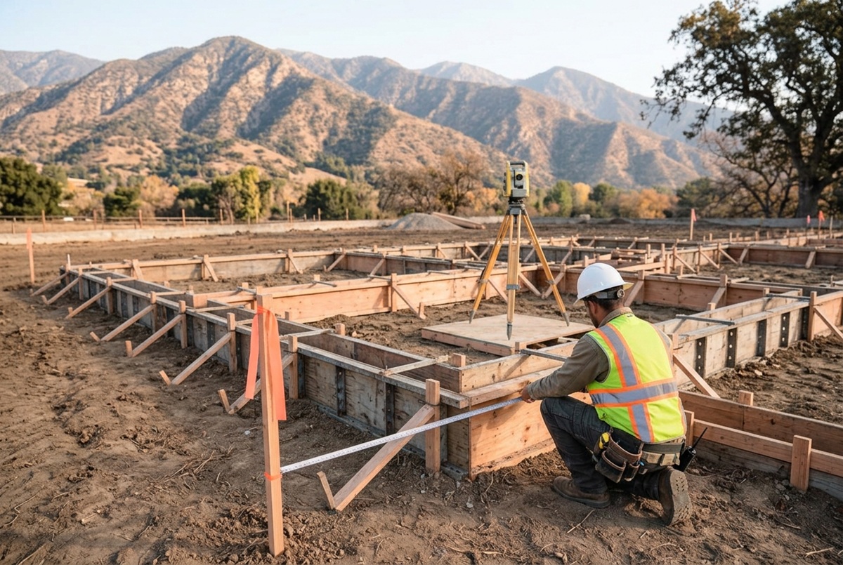
After the fire the lot was bare but not flat — and, as across old Altadena, the surviving walls had never matched the lot lines. Earthwork, retaining walls and the footprint itself had to be set from true ground and true boundaries, not a rough map and a fence.
We re-surveyed the post-fire ground at detailed contours, set a temporary benchmark on County datum and re-established the property corners. The County did not require a grading plan, but the contractor needed one to make drainage work — our civil team drafted it in six days. We then staked the building corners with cut and fill, before and after grading, and certified the setbacks.
The contractor priced earthwork and retaining walls from surveyed ground and built to a drainage design that worked. The owner’s corners now sit on the County record. One firm carried the lot from bare ground to a certified footprint in four months.
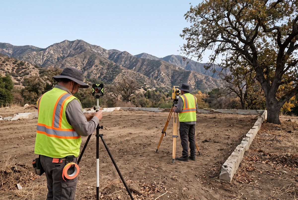
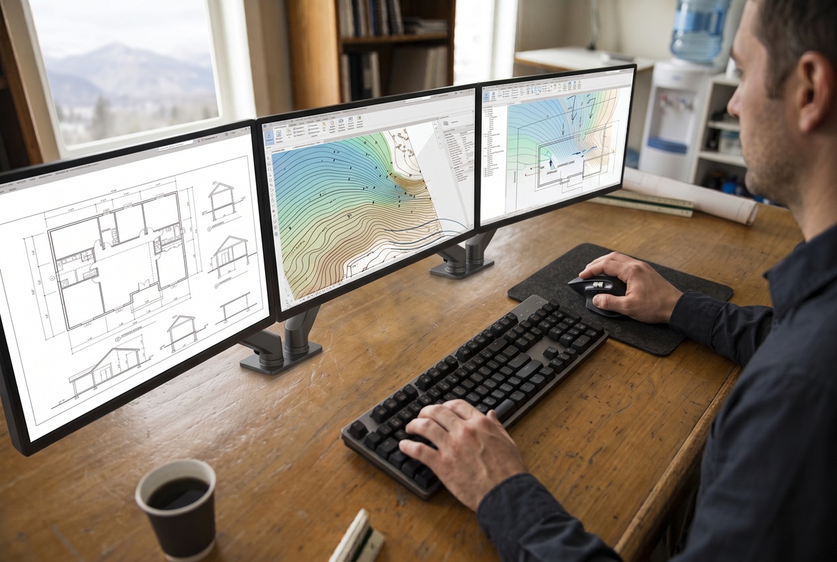
Representative images.
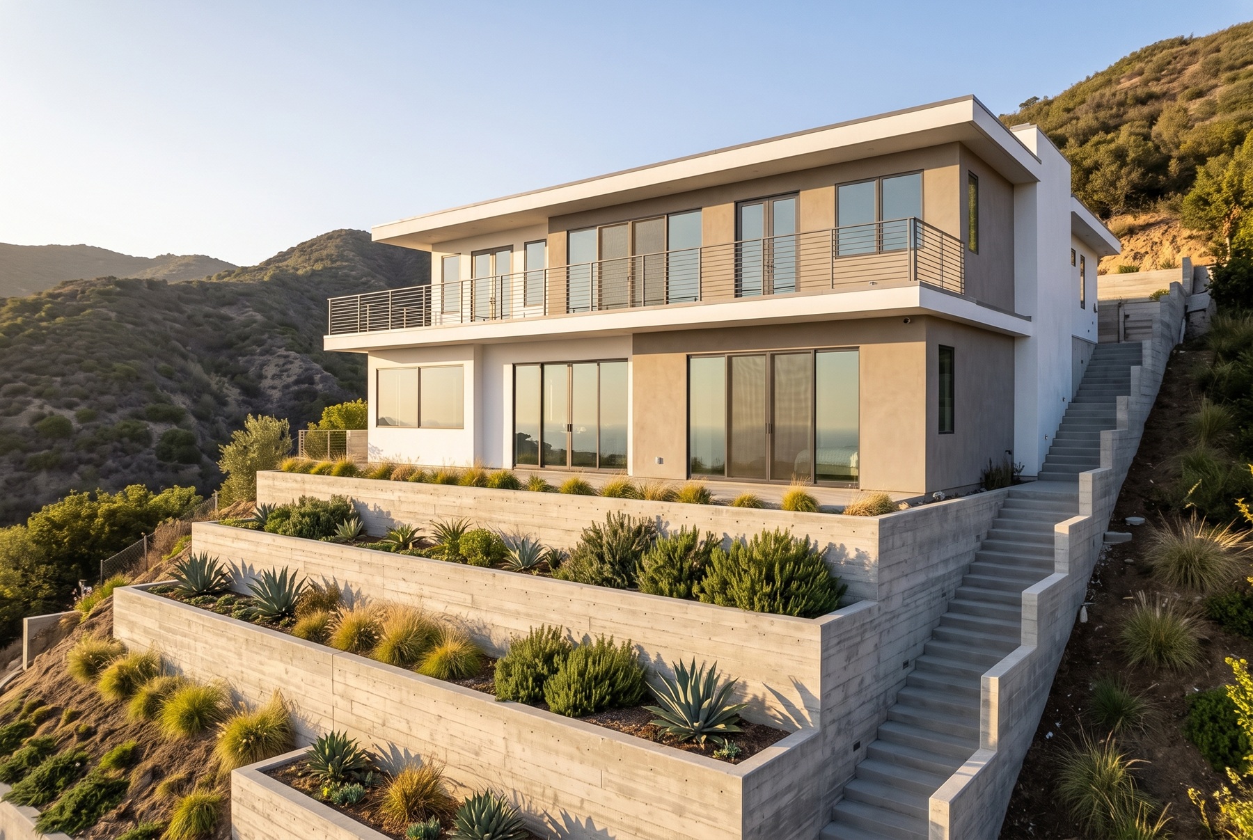
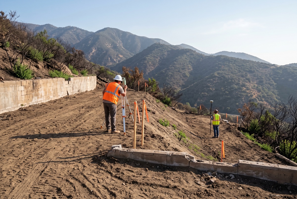
A custom home on a Palisades hillside is built on made ground. The lot falls sharply, the walls that survive rarely sit on the property line, and the City measures height from the lowest ground touching the building — so the retaining walls, the pad and the roofline are one connected problem rather than three separate ones.
We carry the whole survey and civil side of a hillside build: topographic survey and boundary resolution, property corners re-established, precise grading and drainage design, retaining walls staked to line and elevation, building corners staked with cut and fill, and building height certified against the limit. Every stage works from the same control and the same datum.
One firm holds the control, so a change to a wall is re-surveyed, redesigned and re-staked without a handoff in between — and the numbers the contractor builds to are the numbers the plan was drawn from.
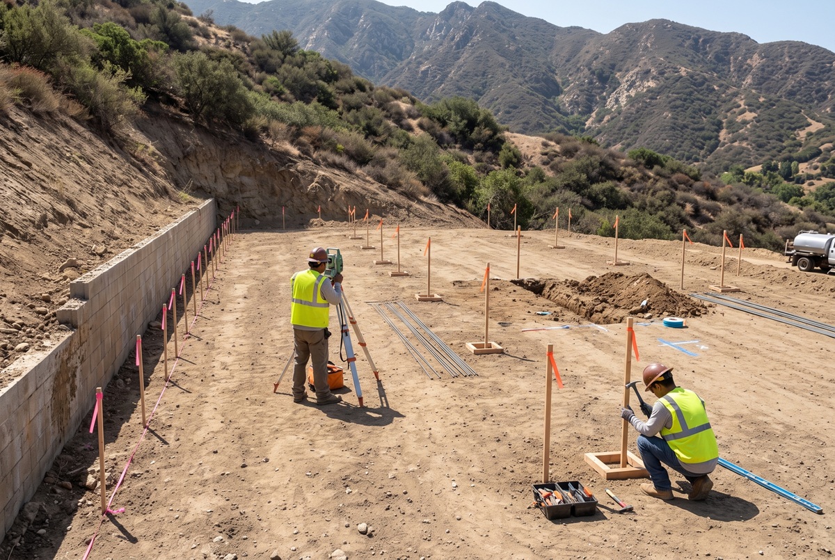
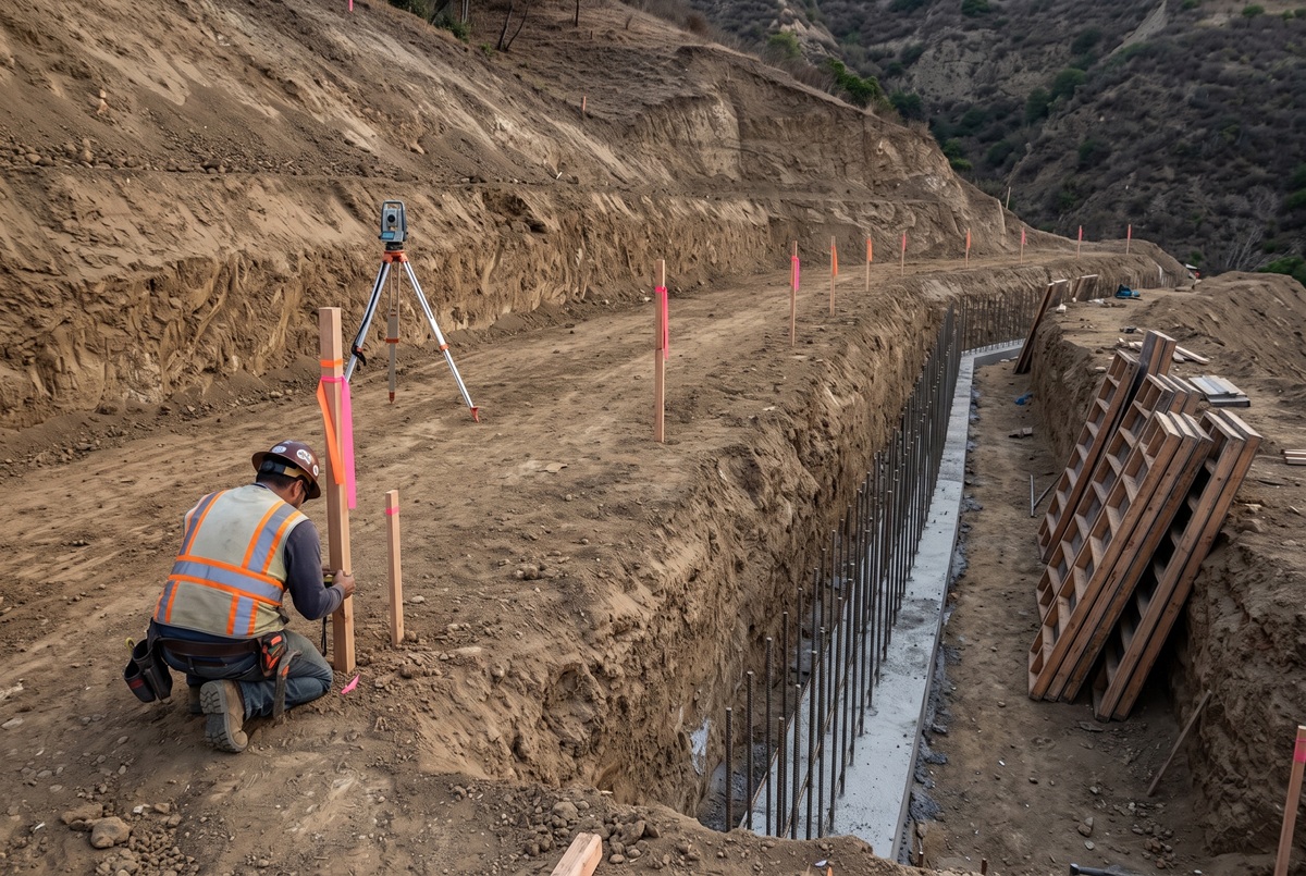
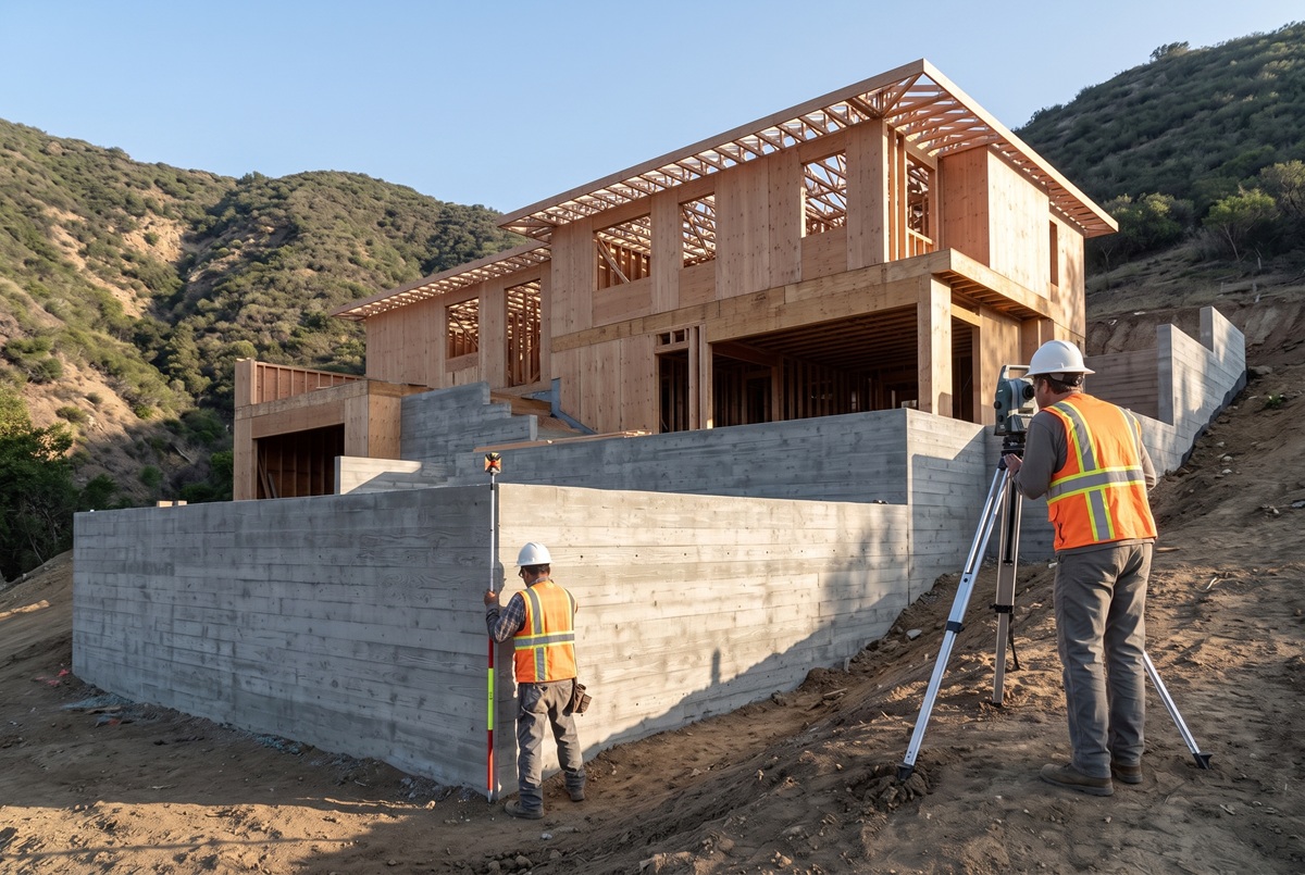
Representative images.
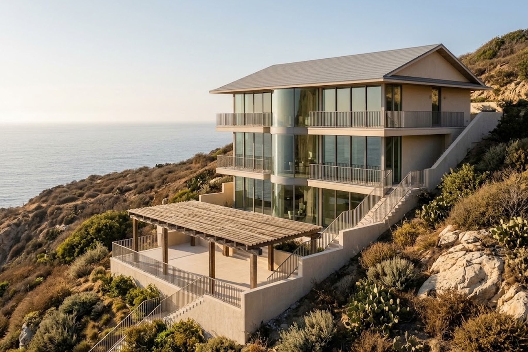
An architect cannot design into an existing house from a tape measure and an old set of drawings. This one sits on a steep coastal lot, so the ground mattered as much as the building — and the two are usually measured by different people, at different times, in coordinate systems that never quite agree.
We resolved the boundary from the title report and the deeds, then scanned the site and the building — outside first, inside on a second visit — registering both to the same control on County datum. From one point cloud we drew the topographic survey, the as-built floor plan and the elevations, and built the BIM model the architect designs in.
The site plan, the floor plan and the elevations all sit in one coordinate system, so a wall on the drawing is where it is on the ground. Each scan became a finished deliverable in two weeks.
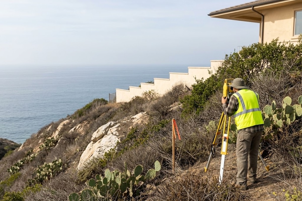
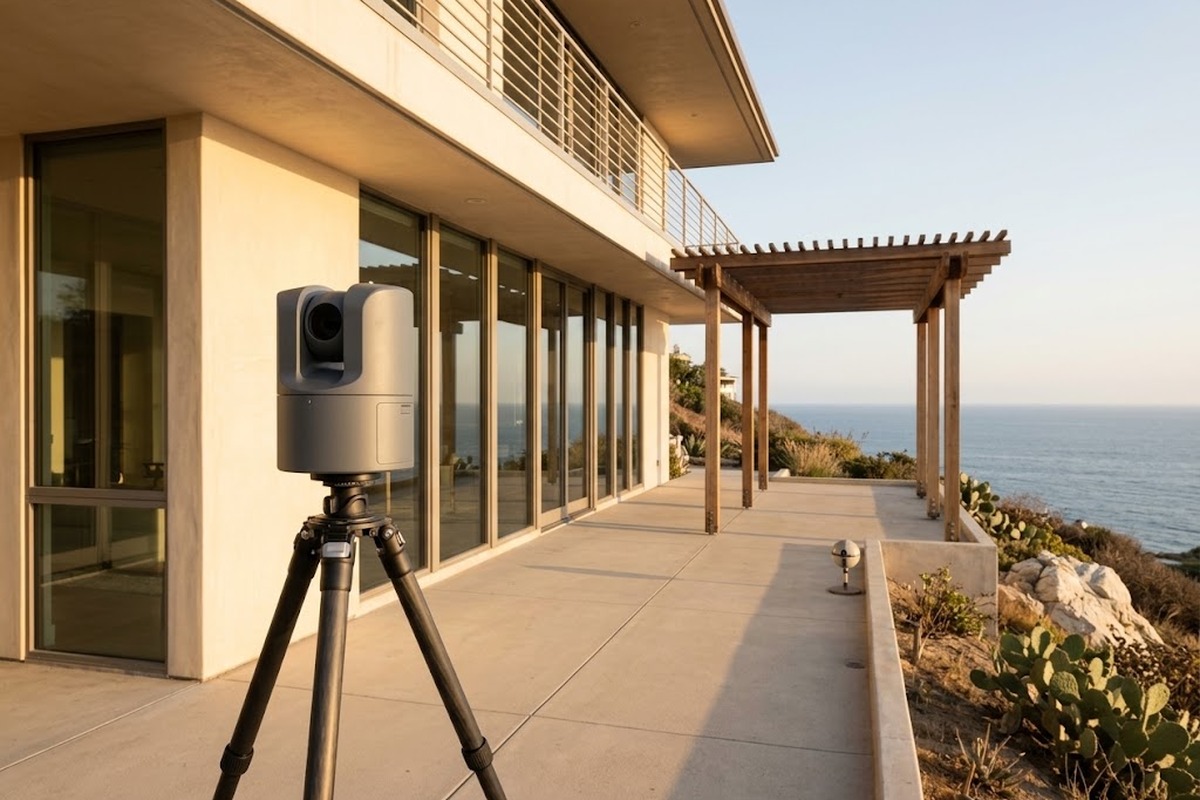
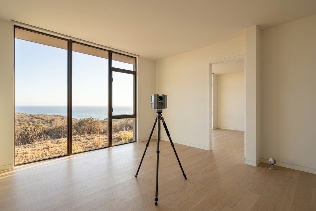
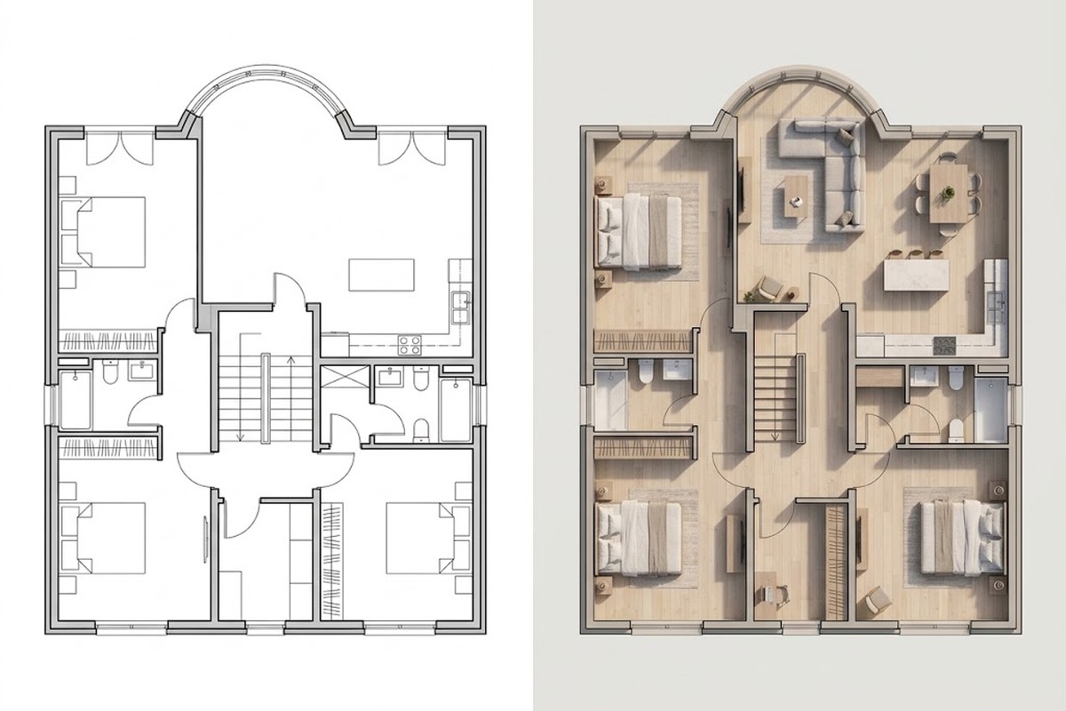
Representative images.
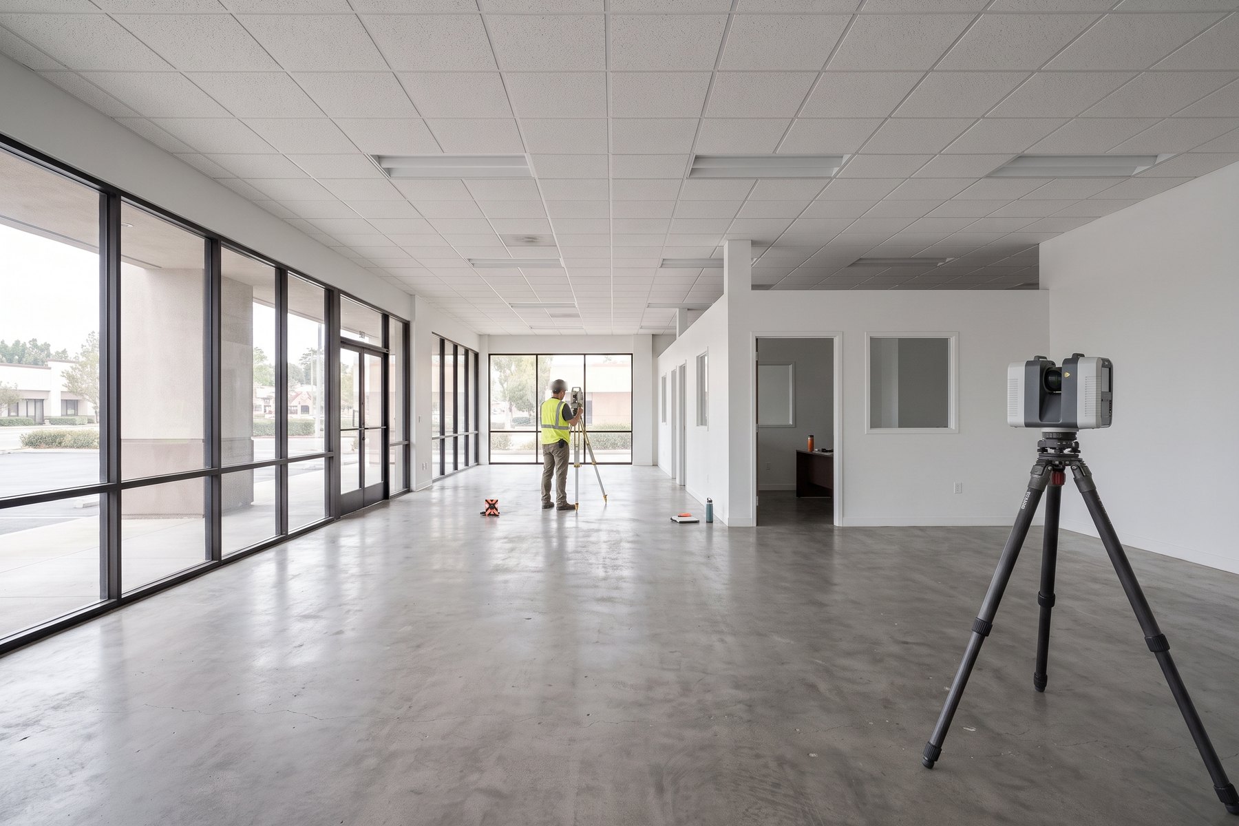
A multi-tenant retail and office centre was going back to market with no reliable plans. Suite areas had never been measured, and several spaces had no unit number posted at the door — including three that turned out to be one contiguous suite.
We walked every suite with a mobile LiDAR scanner — about an hour inside the building in total — then registered the scans into a single point cloud and drafted LOD 300 lease plans from it. Walls, doors, windows, ceiling heights and the full electrical layout, down to panel positions and conduit stub-outs, came off the cloud.
Five lease plans covering 11,332 square feet were issued seven days after the site visit, with areas established by measurement and the unit numbering resolved. The owner received DWG, DXF and PDF plus a browsable 3D walkthrough for prospective tenants.
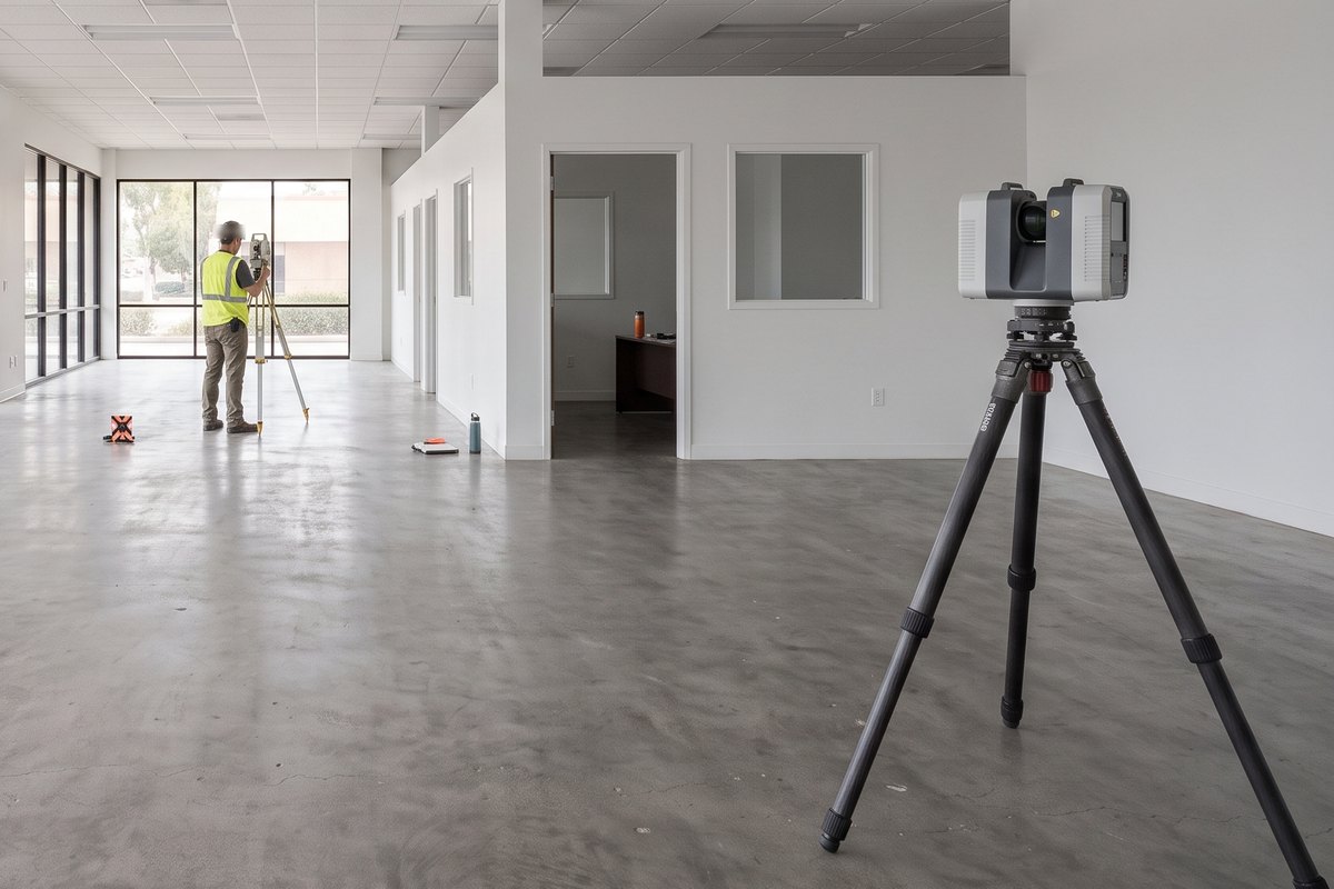
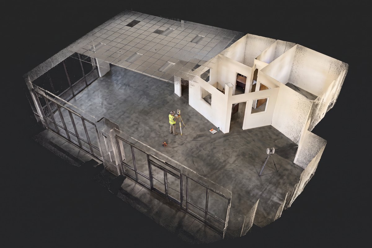
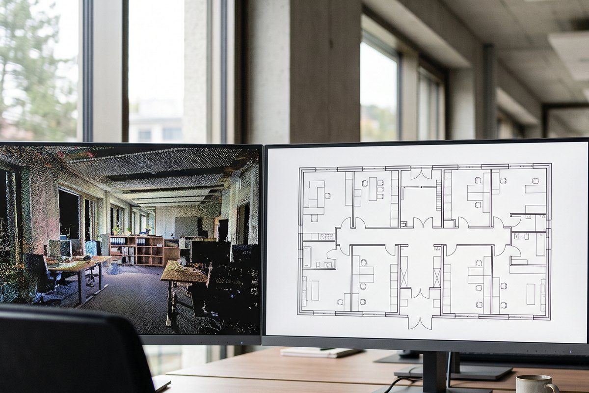
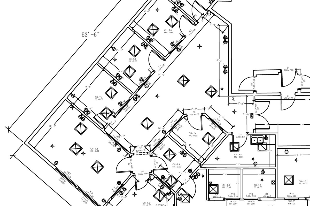
Steps 1–3 are representative images. Step 4 is a detail of the drawing we actually issued.
More case studies are being added across all five sectors we serve.
Send us the property address and what you’re planning — we’ll tell you exactly what your city will ask for.
Request a Quote