
In-house licensed Professional Land Surveyors (PLS) and civil-focused Professional Engineers (PE), plus FAA-certified remote pilots — supporting your project from design phase through construction.

Every project sits on land — and every jurisdiction has its own rules for how that land is measured, divided, and built on. Geoculus provides the full range of professional land surveying services throughout California, backed by an in-house library of city and county submittal requirements that helps your project get through plan check the first time.
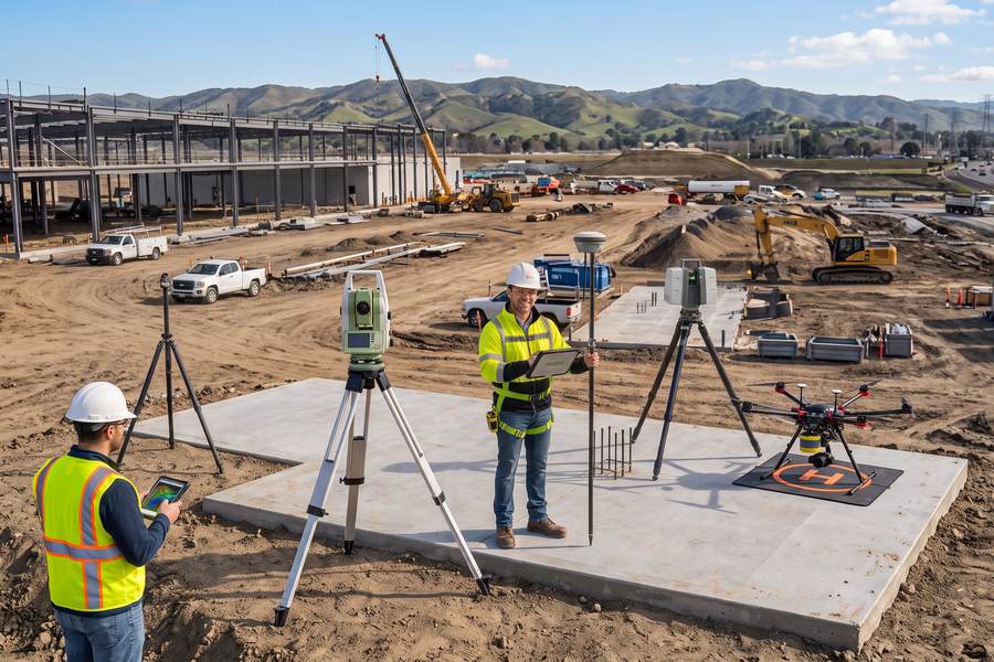
Establishing where your property lines are and documenting what exists on the site — the base information your architect, engineer, or lender needs before anything gets designed or bought.
We research the deeds and recorded maps, locate the existing survey monuments, and re-establish where your property lines and corners truly are. The starting point for any purchase, fence, dispute, or new construction.
A limited survey suited to small additions and minor development. It focuses on the location of existing improvements — structures, trees, walls and fences, visible utility connections — and shows boundaries and easements in a general way, without the full elevation detail of a topographic survey. The economical starting point for a modest project.
The standard base map for most architectural and engineering design. It adds the elevation detail your design team needs — contours, spot elevations, wall heights, and finished grades — alongside existing improvements, making it the right basis for major additions, new construction, and civil or geotechnical design.
The most thorough survey in the industry, prepared to national ALTA/NSPS standards. Beyond boundaries, improvements, easements, encroachments, and utilities, it reports zoning, flood zone, and parking counts by type (standard and accessible). This gives the title company what it needs to clear any land title issues, and gives the lender what it needs to evaluate the property for a purchase or refinance.
Locating and mapping the pipes and lines buried on your site, using utility records and ground-penetrating radar to ASCE 38-22 (Quality Level B) — so design and excavation start with a reliable picture of what is below.
Turning survey data into the maps, analyses, legal descriptions, and applications that move a property through plan check.
A desktop analysis performed on your topographic survey — no additional field work required. We measure how much of the lot falls within each slope range and apply your city’s hillside formula to establish the buildable floor area, or the allowable number of units, that the ordinance permits.
Dividing land, from the tentative map through the recorded final map. The tentative map is the entitlement submittal your city reviews and conditions — get it right and the rest follows. Once it is approved we prepare the parcel map for lot splits, the tract map for larger developments, or a condominium plan for common-interest projects. We handle the back-and-forth with city and county engineering for you.
Not every boundary change needs a subdivision map. We move lines between parcels, combine parcels, confirm a parcel was legally created, and prepare covenants to hold parcels as one.
Legal descriptions and exhibit plats for utility, access, drainage, and conservation easements, plus street and alley dedications — prepared to each agency’s checklist and ready to record.
Setting durable monuments at your property corners and filing the resulting record with the County Surveyor. Under California’s Professional Land Surveyors’ Act, a Record of Survey must be filed within 90 days whenever a survey turns up evidence or a discrepancy the recorded maps don’t show (B&P Code § 8762); where we simply retrace existing lines, a Corner Record covers the corners we set (§§ 8765(d), 8773). Every monument must be permanently and visibly tagged with the surveyor’s “L.S.” certificate number (§ 8772) — which is what turns the work into the public, legal record of where your boundary sits.
If your property is mapped in a FEMA flood zone, your lender can require flood insurance and your city can impose extra building requirements. Accurate surveyed elevations are what change that — and we prepare the certificates and map-change requests FEMA accepts.
The first step, and the prerequisite for everything below. We tie your survey to the State Plane coordinate system (NAD83 / NAVD88) so FEMA’s floodplain, floodway, and base flood elevation layers can be overlaid reliably — showing exactly which part of your property is affected before you commit to a study or a design.
A licensed surveyor measures your building and surrounding grade and records the elevations on FEMA’s official form, comparing them against the base flood elevation. Insurers use it to rate your flood premium, cities use it to confirm floodplain compliance, and it supports any map-change request.
For property that sits on naturally high ground but was mapped into the flood zone anyway. We document the elevations and petition FEMA to amend the map, which can remove the mandatory flood insurance requirement.
For when the flood hazard itself has changed — a channel improvement, a drainage project, or updated engineering. We prepare the submittal asking FEMA to formally revise the effective flood map.
When proposed development falls inside the floodplain, a CLOMR-F is submitted with a civil remediation plan to show the flood risk can be resolved by regrading and engineered fill. Because it is conditional, you get FEMA’s answer before committing to construction.
The reference framework everything else is measured from — so field, aerial, and scanned data all line up together.
Long satellite observations, post-processed for accurate positioning anywhere — including remote sites with no cell coverage.
Real-time and post-processed satellite corrections that improve accuracy and speed up field work, reducing the ground control needed for drone mapping.
Converting data between different coordinate systems and datums, so information from different sources fits together correctly.
Our field crews turn approved plans into accurate marks on the ground — then certify the results so your inspections keep moving. From the first property corner through the final height certification, every stake ties back to the same survey control, so the structure ends up exactly where the plans say it should.
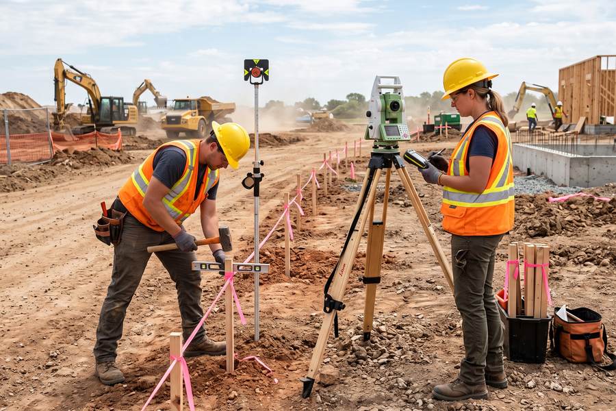
Putting the plan on the ground, at every phase of the build.
Setting and tagging monuments at your property corners, so limits of work and new improvements are laid out from the true boundary.
Offset and reference stakes set from the approved plans to position the work on the ground — building corners, retaining walls, basements, caissons, soldier piles, and other elements — with elevations included when precise grading plans are available.
Establishing project control tied to City benchmarks, with temporary benchmarks and a control report — so every stake and elevation on site comes from one consistent framework.
The signed documents your city asks for before it will approve the next inspection.
A grade check before each pour, verifying the forms are at the right location and elevation and that the site drains toward the street as designed.
We survey the constructed forms and certify that the building sits at the setbacks your permit requires — a signed document for the city, delivered before the concrete goes in, while a correction is still inexpensive.
Verifying the graded pad matches the elevation on the approved grading plan, with blue-top stakes set when required.
Surveying the high and low points of the structure to certify the building meets your city’s height limit.
Many cities require temporary poles and flags showing a proposed building’s outline and height so neighbors and the planning commission can see its mass before approval. We handle the whole process.
A temporary frame plan prepared from your approved architectural drawings and the topographic survey, showing exactly where each pole goes and how tall it must be.
Staking each pole location with the cut or fill to the proposed roof elevation, installing the poles and the flagged string lines that outline the building, roof, and eaves — then removing everything once the public review period ends.
A licensed surveyor certifies that the installed poles accurately represent the height, mass, and roof ridgelines of the project as shown on the plans — the certification your planning department requires.
FAA Part 107 certified pilots, ASPRS certified UAS technicians, and professional geomatics engineers reconstruct sites in three dimensions from imagery and LiDAR — surveying-grade results at any scale. Whether the site is a single lot or several hundred acres, every deliverable is tied to ground control, so it holds up under agency review.

Aerial data reconstructed into detailed large-scale 3D information, delivered as accurate, customizable 2D and 3D products.
Aerial photos geometrically corrected to a uniform scale, so they can be used like a map — measuring distances and locations directly.
Surface models capturing everything above ground, and bare-earth elevation models — the basis for contours, slope analysis, and hydrology studies.
High-accuracy 3D volumes of stockpiles, excavations, and inaccessible terrain — captured without interrupting site operations.
Professional-grade High-Definition Surveying captures mm-level 3D coordinates — a one-to-one digital record of any building or environment, exterior and interior. From that single capture we can produce measured drawings, a fully parametric model, or both, without sending anyone back to site to re-measure.
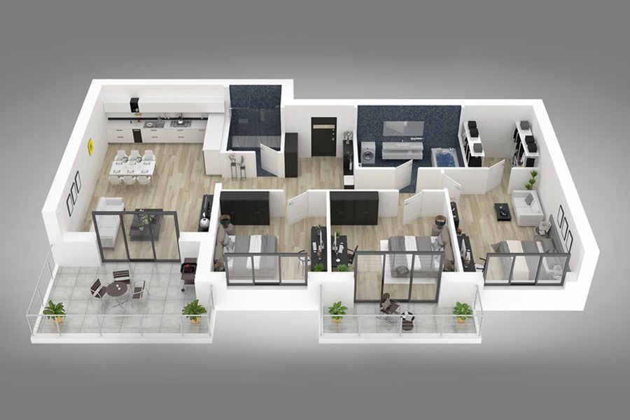
Terrestrial and handheld LiDAR capture for as-built documentation, topographic mapping, ADA ramp slope and floor-flatness verification, and volumetric analysis.
Point clouds converted into the drawings your design team actually works from — floor plans, reflected ceiling plans (RCP), exterior and interior elevations, building sections, and roof plans — delivered as accurate as-built measured building surveys.
Fully parametric Revit models at your required Level of Development (LOD 100–400), built from verified scan data — walls, doors, windows, and structure modeled as intelligent objects your design team can schedule and edit. When a full BIM model isn’t needed, we also deliver 3D geometry in AutoCAD.
GIS integrates diverse geospatial data and leverages it for planning and decision-making — acquiring, processing, presenting, and analyzing it all at once. Instead of scattered files, your parcels, utilities, terrain, and imagery live in one environment your whole team can explore and query.

Large vector and raster datasets unified into one customizable GIS — parcels, utilities, terrain, imagery, and project records in a single environment.
Urban planning support, visibility analysis, routing, and solar assessment — 3D deliverables your stakeholders can explore and act on.
Survey requirements change at every city border. We maintain an internal library of each jurisdiction's submittal requirements, plan-check practices, and recording procedures across 100+ cities in 15 California counties — concentrated in Southern California, with active projects from San Diego to the Bay Area. Work is performed under the responsible charge of a licensed Professional Land Surveyor (PLS) — California and Nevada — with licensed Professional Engineers (PE) on staff, civil focused, for civil engineering support; certified SBE (CA DGS, including Public Works) and MBE (NMSDC); registered on SAM.gov. Founded in 2021, our team brings more than a decade of experience in surveying and geospatial data processing.
Send us the property address and what you're planning — we'll tell you exactly what your city will ask for.
Request a Quote